
Browse Sterling Heights Streets
Address records in Sterling Heights answer different questions. A property card can identify the assessed owner and a parcel. A map can show the parcel’s position. A deed can connect a buyer and seller at a point in time. A voter result can confirm only the public registration information returned by the state. Historical directories and newspapers can offer a dated address clue. None of those sources creates a complete list of everyone inside a building.
- Search the address in Sterling Heights Assessing or the BS&A service. Save the situs address, parcel number, owner field, mailing field, and legal description.
- Open the same spot in Macomb County GIS. Turn on parcel and road layers, then use Identify on each parcel along the segment.
- Use the Michigan Voter Information Center only for its public result and polling information. It is not a household roster.
- Search the current owner as grantee in the Register of Deeds index, then compare the deed’s legal description with the parcel.
- For an older address clue, ask the library whether a regional directory volume has a reverse or criss-cross section.
Keep a retrieval date beside each result. That record trail becomes more reliable when each conclusion says whether it came from a parcel card, a deed, a voter result, or a historical listing.
Sterling Heights Street Directory Search
The city’s assessing service and BS&A municipality page provide the practical first stop for a street directory search. The documented modes include owner name, full or range address, full or partial parcel number, and comparable-building attributes. A range such as 100-200 Main St can return a group of parcels, so map validation matters. BS&A also links to property sale and building-department record families, which should be treated as separate records rather than proof of residence.
| BS&A field | Use on a street search | Result to preserve |
|---|---|---|
| Address or advanced address | Find one address or a short range | Situs address and matching parcel |
| Owner name | Check parcels tied to a named owner | Owner and displayed mailing address |
| Parcel number | Return to the same tax parcel | Tax ID and property card |
| Comparable building attribute | Compare appraisal characteristics | Comparable property context |
| Building record service | Locate a permit or project path | Address or record number, if public |
The property card may show assessed and taxable values, tax or sale links, exemptions, building details, and a sketch. Its mailing address is where notices go. It may belong to a trust, business, attorney, former owner, or forwarding contact, so it is not proof that the named owner lives at the property.
Sterling Heights Assessing describes the address, parcel, and comparable-building tools shown in this capture.
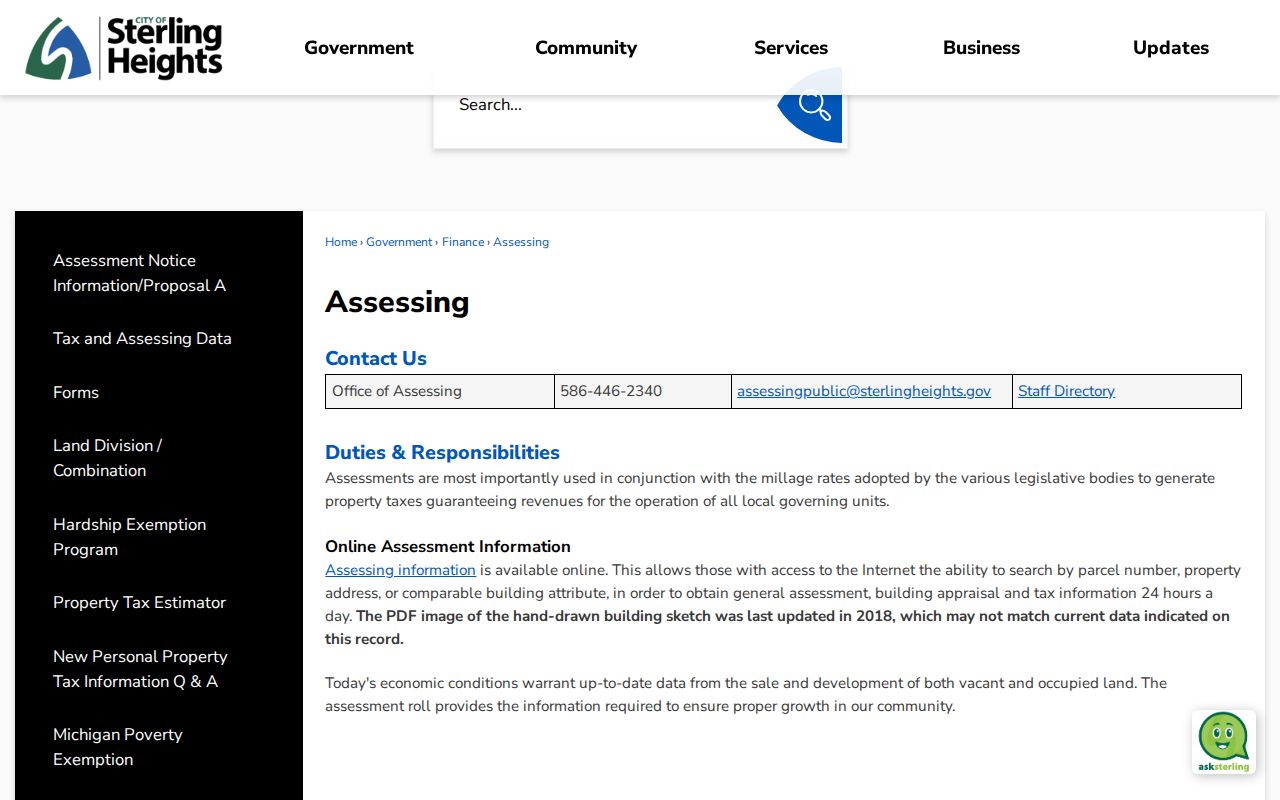
The assessing page also cautions that its hand-drawn building-sketch PDF was last updated in 2018 and may not match current data. Use the sketch as an appraisal clue, not a current building survey.
Sterling Heights Street Map Tools
Macomb County GIS makes a by-street review visible without turning the map into a resident roll. Parcel Explorer accepts a full or partial tax ID, a full or partial property address, and a community choice. When a suffix blocks a result, the county advises omitting RD, DR, AVE, BLVD, or CT. The Search All Known Address option searches the E911 address database, but its address-points layer must be active.
The toolbar supports Pan, Zoom, Identify, measurement, printing, saving a map image, selection, and buffered selections. Select parcels and roads, zoom to a street segment, choose a feature layer, and click a parcel with Identify. The selection tools can export selected features, while a buffer requires a chosen layer and radius. Those controls support a geographic review of the street, not an assertion about every occupant.
Macomb County GIS Parcel Explorer displays the mapping and search controls used for the Sterling Heights street directory process.
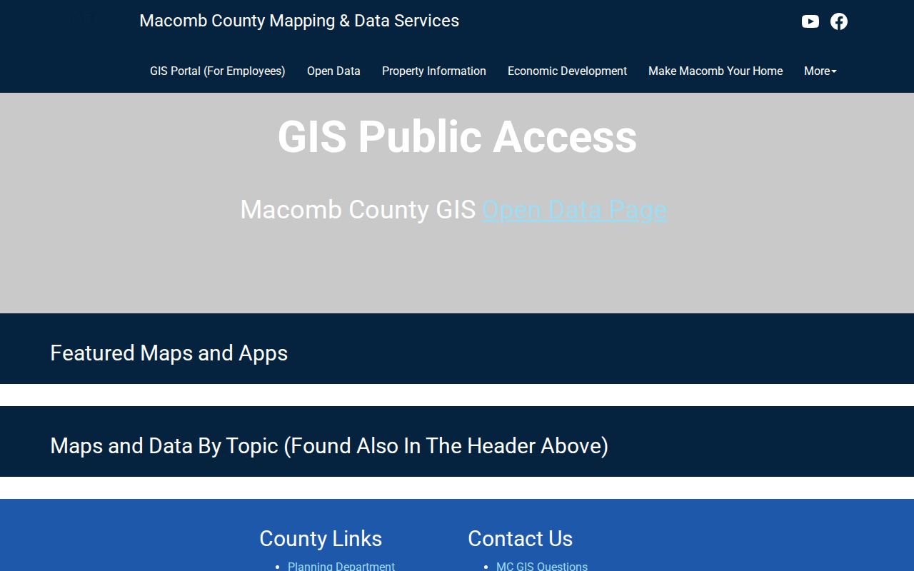
One tax parcel can carry several address points, especially for condominium, apartment, or mobile-unit addressing. Check the point, parcel, and address label separately.
Note: Map geometry and address points help locate a record, but neither one identifies a complete household.
Sterling Heights Street Records
Use the record keyed to the question. The assessor and GIS pair identify today’s parcel. The Register of Deeds records conveyances and related documents. Building and code records may be address-linked where public. The voter system supplies only the limited public information it returns. Libraries hold the historical address layer. A parcel number and legal description are the bridges between these systems.
| Address record | Local keeper | Street result | Access route |
|---|---|---|---|
| Current assessment | Sterling Heights Assessing / BS&A | Owner, mailing and situs fields, value, building facts | Online, phone, or counter |
| Parcel and map layers | Macomb GIS / OneView | Tax ID, geometry, address points, adjacent geography | Public viewer and map tools |
| Deed and mortgage index | Macomb Register of Deeds | Parties, document type, date, legal description | Free Basic search, paid copies, counter, or mail |
| Building or code record | City building service | Permit, project, inspection, or public enforcement lead | BS&A service or a focused FOIA request |
| Historical address source | Sterling and Mount Clemens libraries | Dated directory, newspaper, or obituary lead | Library volume or research service |
A city FOIA request can seek an existing, nonexempt address-specific record. Michigan’s Freedom of Information Act does not require the city to create a new street compilation, and exempt or protected material can be redacted. Phrase the request around a defined address, record type, and date range.
Sterling Heights Street Deed Chain
The Macomb County Register of Deeds offers a free Basic Document Search. Advanced access can search address, legal description, parcel ID, and names, and supports copy or certified-copy requests. A document purchase by card is listed at $6. Advanced subscriptions are separately priced, and staff searches cost $5 plus $1 per copied page. The index is grantor and grantee based, so a name query benefits from trying versions with and without a middle initial.
Start with the assessed owner as the likely grantee, then open the matching acquisition record. Save the grantor, recording date, document or book/page identifier, and legal description. Search that seller as an earlier grantee, repeating backward only when the legal description matches. Mortgages, assignments, discharges, and liens may explain a record event but do not by themselves transfer title.
The Register’s search-options page distinguishes Basic and Advanced access and shows the available copy paths.
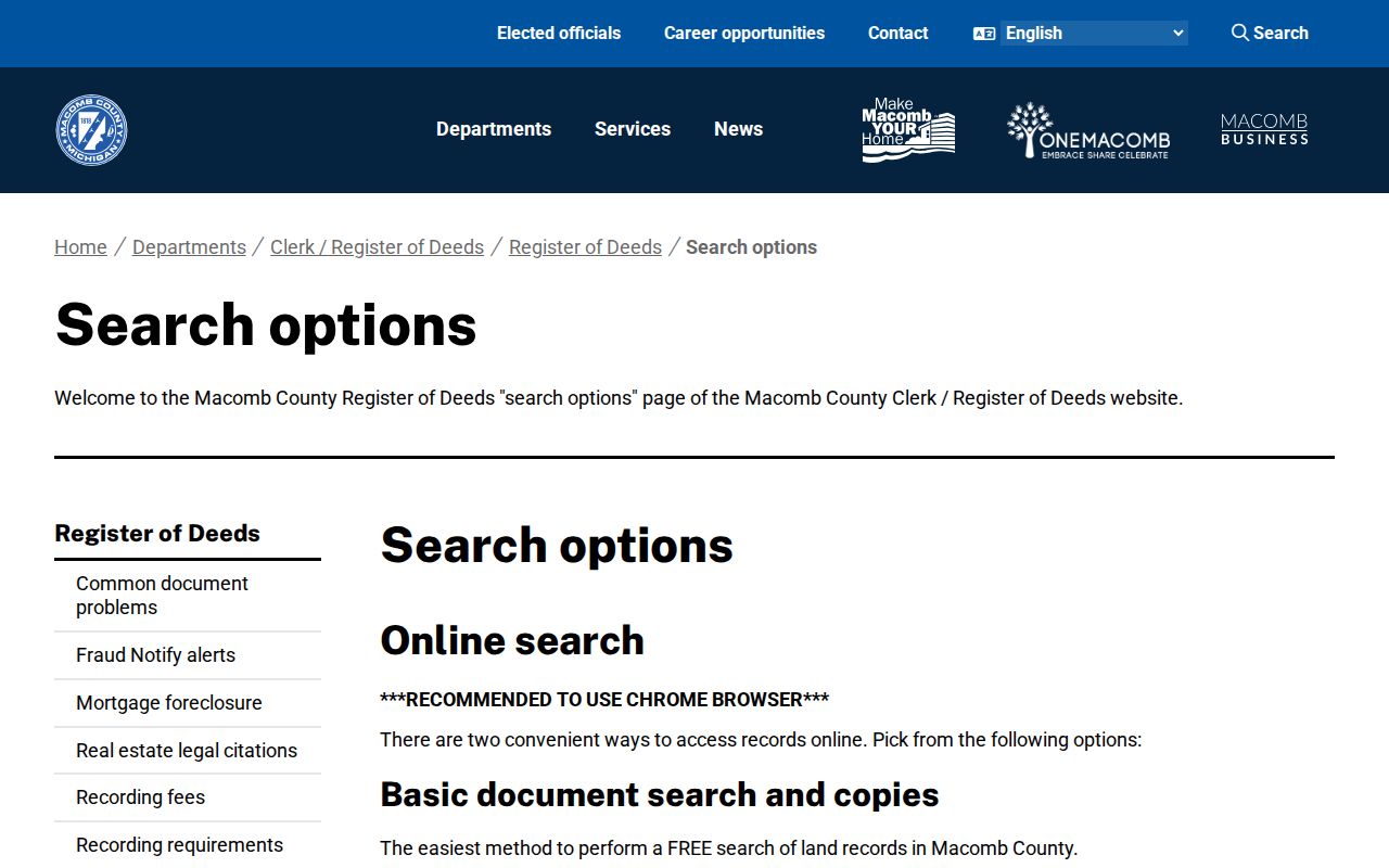
Clear document images and copies have a separate path from free index viewing. The public terminals at 120 N Main are free for index viewing; written requests can include document type, party names, approximate year, and the address or legal description.
Note: Index flags can indicate work in progress, so verify an important street-directory conclusion against the record itself.
Sterling Heights Address Terms
Old and current records sort places in different ways. Recording the terms exactly as they appear prevents a street directory search from drifting to a similar property.
- Parcel
- A tax and map unit used by assessing and GIS. One parcel can contain more than one address point.
- Situs address
- The address where the parcel or building sits. It differs from an owner’s mailing address.
- Plat
- A recorded subdivision map that helps relate a lot and block to the modern parcel.
- Legal description
- Lot, block, subdivision, or metes-and-bounds wording used in deeds and plats. It remains useful when a street label changes.
- Criss-cross directory
- A reverse directory that may arrange historical entries by street and house number. Confirm the arrangement in the specific volume.
Sterling Heights became a city in 1968. Earlier records may use Sterling Township, a rural route, Utica, or another postal label. The legal description and plat supply a better bridge than assuming a modern street address appeared in an older deed.
Sterling Heights Voter Boundaries
Michigan Voter Information Center is the official interactive route for a public registration lookup. Its dynamic form should be read as displayed at the time of search. Michigan makes voter records public subject to statutory exclusions, but it does not register voters by party. A result can support a limited registration or polling-place check, not a claim that every person at the address is present.
Michigan withholds the driver-license or state-ID number, month and day of birth, phone, email, the office that first received registration, and refusal-to-register information. Ballot choices are not public. A protected participant may have a designated address through the Michigan Address Confidentiality Program. A formal full-file request is separate from the ordinary web lookup.
The Michigan voter lookup is shown in this Sterling Heights street directory screenshot.
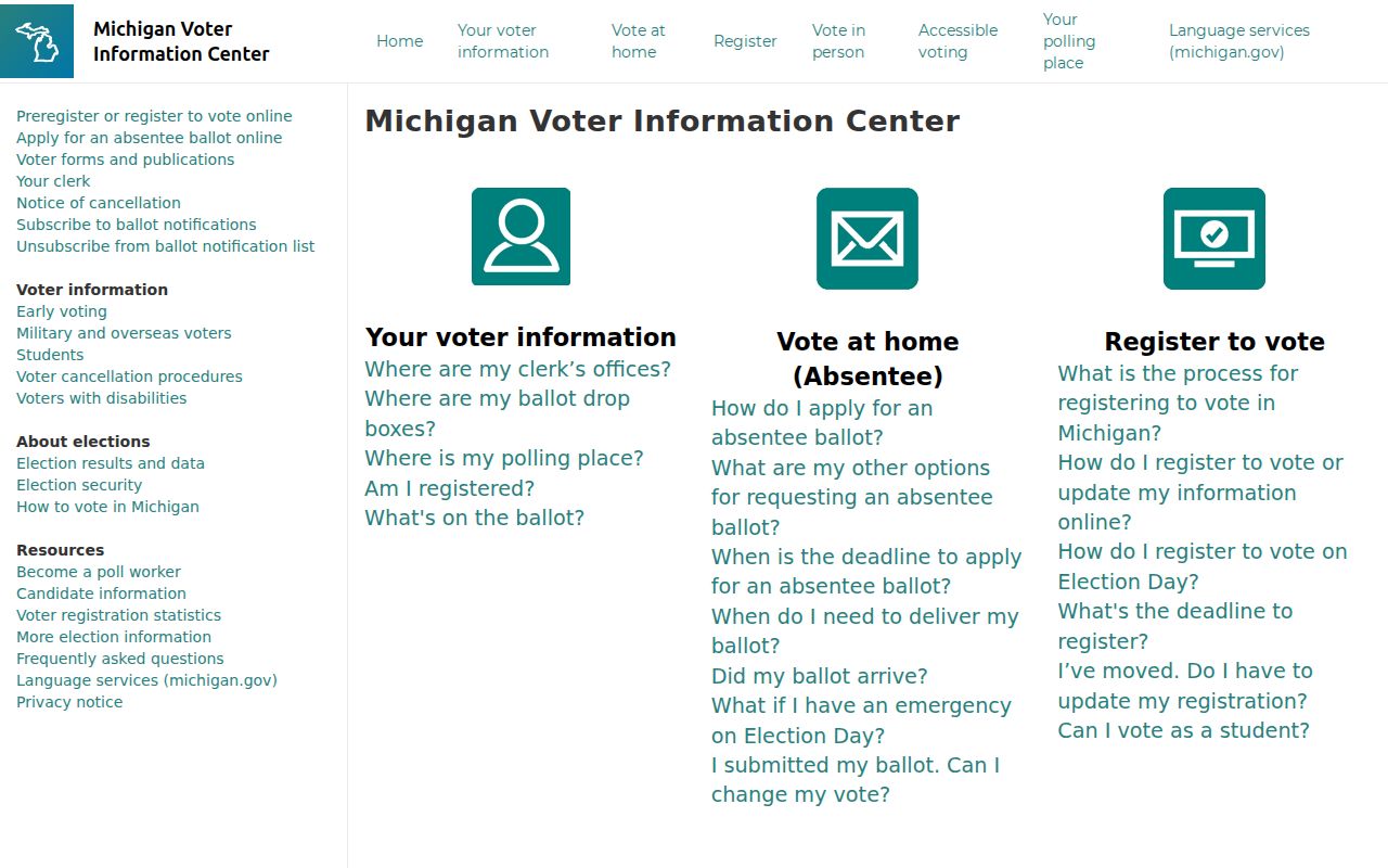
Use the state’s prompts and publicly displayed results, then contact the city clerk or Bureau of Elections for correction or formal request procedures when needed.
Sterling Heights Street Geography
The city’s OneView map helps explain why two nearby addresses can fall in different civic or postal contexts. Its layers include city boundaries, parcels, subdivision and condominium boundaries, zoning, flood, soils, refuse, ZIP, school districts, polling, points of interest, utilities, and PLSS. Use those layers to label a street segment accurately before comparing records from different custodians.
Sterling Heights Maps links to OneView and the available local map tools.
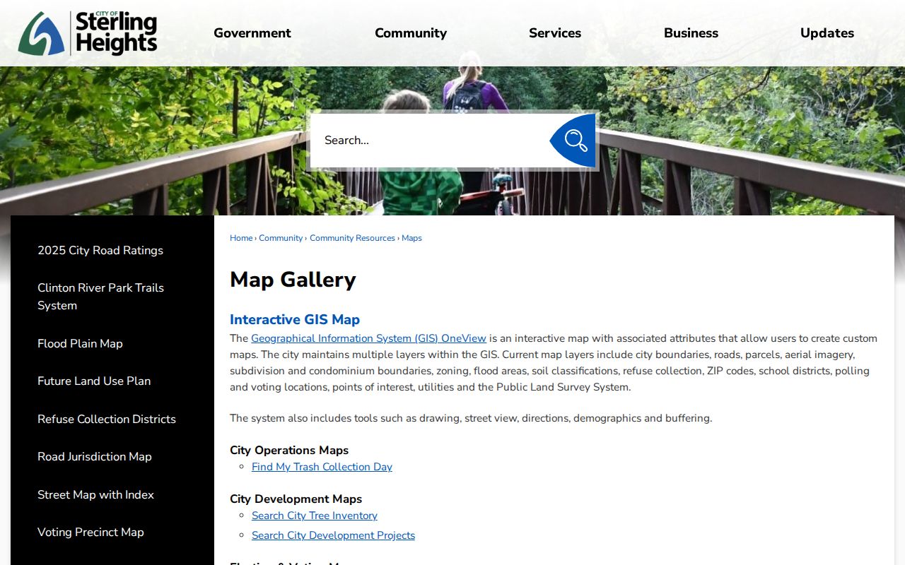
ZIP and polling layers add useful geography, but a postal boundary does not replace the city parcel record or a voter result. This is a geography check, not a people list.
Sterling Heights Historic Streets
For a historical street address, ask Sterling Public Library or Mount Clemens Library whether the relevant volume has a reverse section. The Mount Clemens City Directory Master Index spans 1896-1966 and is a regional lead, not proof that every Sterling Heights address appears in every volume. The Utica Sentinel microfilm, held as a local-history lead, runs from 1860 to approximately 1960 and can add notices or obituary context.
Older searches should try Sterling Township as well as Sterling Heights. Township assessment records span 1899-1968, while Archives of Michigan groups list Sterling Heights assessment material for 1969-1979 and 1970-1979. Those dates make the 1968 incorporation a real records-geography issue, not a reason to force an old entry into a modern city label.
For an address trail moving backward from a single parcel, use the Sterling Heights previous residents search after the current street segment is established.
Sterling Heights Street Limits
A street directory cannot establish every renter, child, guest, household member, utility customer, or driver at an address. A permit applicant can be a contractor or agent. A property owner may use a mailing address elsewhere. A voter registration is not a dated move record. Public sources also exclude protected addresses and nonpublic case material.
Lawful use. Sterling Heights address records are for personal, lawful research and civic or family-history questions. Do not use them to stalk, harass, intimidate, or harm anyone.
When a record is unclear, ask the custodian what the field means rather than inferring a household connection. That caution is especially important when a street directory result joins a map, an owner field, and an older index.
Note: A matched address can establish where a record belongs without proving that a named person currently lives there.