
Sterling Heights ZIP Code Coverage
Five ZIP codes are the ordinary Sterling Heights postal set: 48310, 48311, 48312, 48313, and 48314. They describe postal delivery and service patterns, not fixed city-limit polygons. The research also identifies 48317 as an adjacent Utica or ZCTA clue. Include it only when a source itself uses that geography, then keep its postal and municipal meaning separate.
| ZIP | Areas Covered | Post Office | Notes |
|---|---|---|---|
| 48310 | Portions of Sterling Heights, especially north and east postal area on the approximate state map | Sterling Heights delivery network | Postal boundary is not a city boundary |
| 48311 | Sterling Heights mailing and PO Box service | Sterling Heights Post Office | Includes PO Box delivery and is not a clean land-area polygon |
| 48312 | Portions of Sterling Heights shown on the state ZIP map | Sterling Heights delivery network | Verify city limits at address level |
| 48313 | Common Sterling Heights postal area | Sterling Heights delivery network | Postal city wording does not prove parcel jurisdiction |
| 48314 | Portions of Sterling Heights and nearby areas | Sterling Heights delivery network | Overlap or adjacency requires an address check |
| 48317 | Adjacent Utica area and ZCTA context | Utica postal area | Not ordinary proof of a Sterling Heights city-limit address |
The state ZIP map is labeled approximate and not official. Census ZCTAs and an MDHHS administrative ZIP grouping explain why 48317 can surface in wider Sterling Heights results, but neither one converts it into a normal city ZIP.
The table is deliberately conservative. The reviewed sources do not publish exact neighborhood splits for 48310, 48312, 48313, or 48314, and postal service boundaries can cross a municipal line. Treat the listed ZIP as a way to route the next search, not as a claim that every street in a named area shares one city jurisdiction. An address-level check remains necessary even for the familiar Sterling Heights postal codes.
The Michigan ZIP map can help frame the broader area, but its own label says it is approximate and not official. For a records project, write down whether the source supplied a USPS delivery ZIP, a Census ZCTA, an administrative grouping, or a municipal parcel. Those categories can overlap while answering different questions.
Sterling Heights 48311 ZIP Code
ZIP 48311 has a documented local postal-service role. The USPS Sterling Heights station listing places the station at 7007 Metropolitan Parkway, Sterling Heights, MI 48311-9998, and lists its service hours and phone number. Its presence is useful for mail and PO Box context, but it does not draw the boundary of every residential address using 48311.
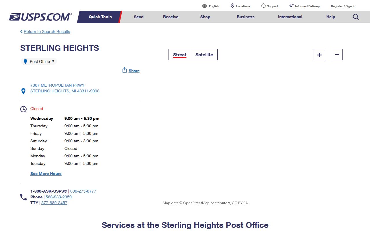
Use USPS for an address-level delivery check. The station page supports local service information, while the full street address establishes the delivery ZIP. A ZIP code directory should retain that answer separately from a city parcel result.
Why 48317 Is Not Sterling Heights
48317 is a nearby-area signal, not a shortcut to city residency. The official Michigan map labels 48317 at Utica, even though Census ZCTA results and state administrative groupings can associate it with broader Sterling Heights or Macomb geography. ZCTAs summarize statistical areas. They do not define municipal boundaries or decide which city maintains a particular parcel.
When an older notice, mailing line, or source result includes 48317, record it faithfully, then check the actual address in the city and county geographic tools. A person, road, or postal city can be near Sterling Heights without being in the city's jurisdiction.
Note: Treat 48317 as an adjacent-area clue until USPS and a municipal parcel source confirm the specific address.
Verify a Sterling Heights ZIP Code
Start from the complete address rather than a city-name search. USPS is the delivery authority for the ZIP. Macomb GIS and Sterling Heights OneView are the local geographic checks for a parcel, street, city boundary, and related layers. A mailing address can differ from the parcel's situs address, which is the physical property address used by assessment and GIS records.
- Enter the complete street address in USPS and copy the ZIP returned for delivery, including ZIP+4 when available.
- Search the address or tax ID in Macomb GIS, then confirm the parcel and municipal location.
- Open the OneView ZIP and boundary layers around the parcel to see the postal and civic context.
- Record the situs, mailing, legal-description, and ZIP fields separately when a research log needs all four.
- For a historic address, search Sterling Township and nearby post-office labels as well as the modern city wording.
Once a ZIP narrows the place, the Sterling Heights street directory supplies the address-by-address record trail. It is the proper route for parcels, ownership instruments, and historical street evidence.
Map a Sterling Heights ZIP Code
The Sterling Heights maps page links to OneView, where ZIP, roads, parcels, boundaries, subdivision or condominium, polling, utility, and other geographic layers provide context around an address.
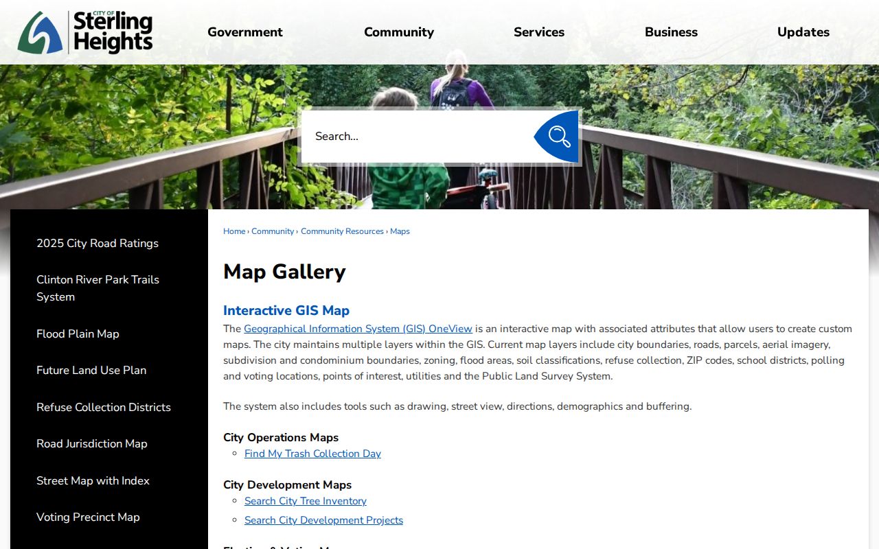
Those layers are useful for explaining why one postal label can sit near another city or district. They are not a household roster and should not be turned into a claimed ZIP-wide resident list. A map identifies geographic features; the parcel card and record custodian provide the next verification step.
Macomb GIS supplies a second geographic route. Its “Search All Known Address” reaches the E911 address database, including apartment, condominium, and mobile-unit address points attached to a tax parcel when the address-point layer is selected. Search by property address or full or partial tax ID. If a street search fails, the county advises trying the name without a suffix such as RD, DR, AVE, BLVD, or CT. That procedure locates geography, not a list of people.
Selection, identify, measure, buffer, print, and export tools support a defined parcel review. They do not prove occupancy or create a verified ZIP-wide query.
Search a Sterling Heights ZIP Code
No official source captured a verified ZIP-wide household query for Sterling Heights. BS&A supports property searches by address, owner name, and parcel, and Macomb GIS can show ZIP as a layer around a parcel. The state voter service is a person and registration lookup, not a ZIP-wide public list. Use each service within those limits rather than promising a citywide resident export.
| BS&A service | Select Assessing before searching city property records. |
|---|---|
| Address | Search a full address or an available range; an advanced-address option is documented. |
| Owner name | Search the public assessed-owner field, not every person at the location. |
| Parcel number | Use a full or partial municipal parcel format when known. |
| ZIP filter | No official text capture confirmed a ZIP-wide BS&A result. Verify the live tool before relying on one. |
The Sterling Heights BS&A entry point is the documented property-search route after the address and ZIP have been checked.
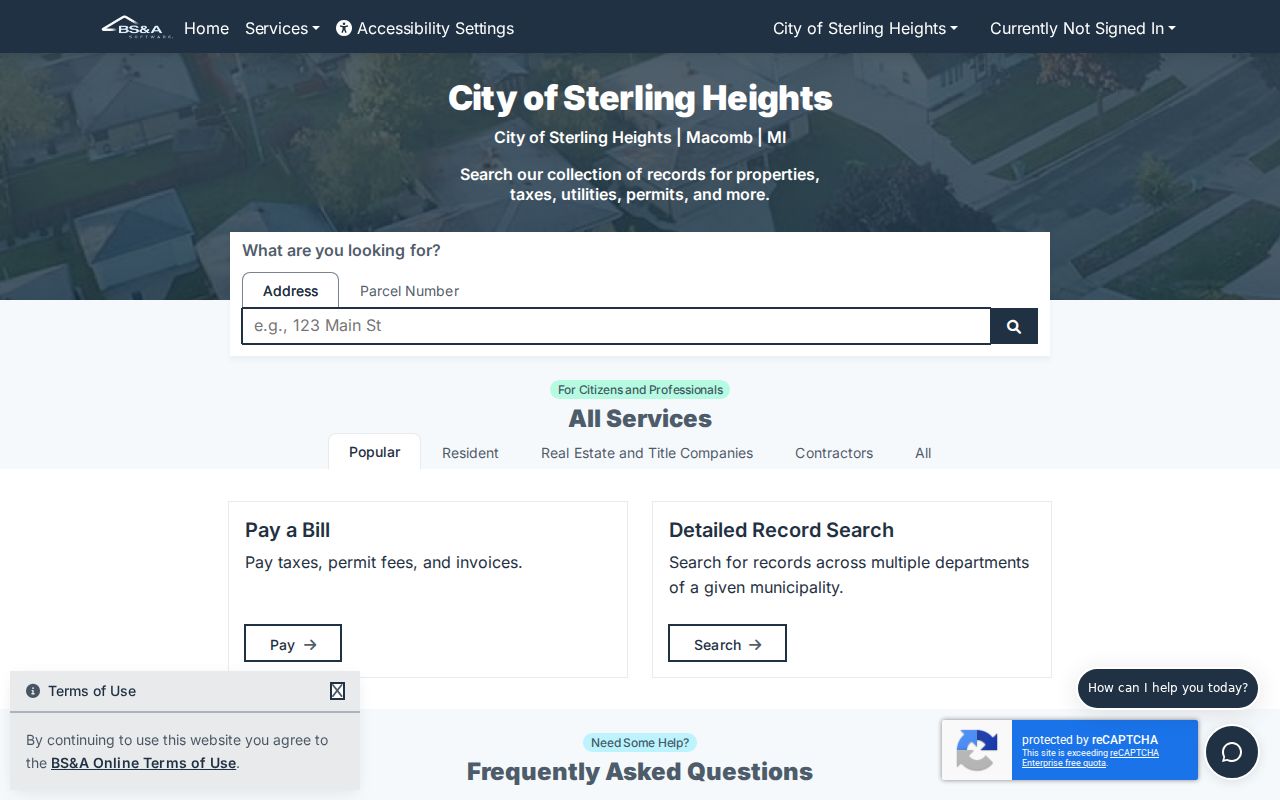
Use the property result to inspect one parcel at a time. It can connect an address to an assessed owner, but it cannot verify a ZIP-wide set of people living in the area.
Sterling Heights ZIP Code Record Keys
Address systems use different keys. Deeds and plats rely on a legal description, such as a subdivision lot and block or metes-and-bounds. Assessing and GIS use the parcel and situs. USPS uses the delivery address. Voter registration connects a residential address and precinct. If two records seem inconsistent, first ask whether they are describing different fields rather than different places.
- ZIP versus ZIP+4
- The five-digit ZIP identifies the delivery area. ZIP+4 adds a more specific delivery segment for the complete address.
- PO Box ZIP
- A postal ZIP used for box service; it does not necessarily describe a residential land area.
- Unique ZIP
- A ZIP assigned to a single organization or delivery arrangement. No verified Sterling Heights example was located in the research.
- Carrier route
- A USPS delivery grouping that helps sort mail but does not establish a municipal boundary or resident roster.
Old Sterling Township ZIP Labels
Before the 1968 incorporation, records can say Sterling Township rather than Sterling Heights. A road or farm can also appear under a rural route, Utica, or another post-office label. Modern ZIP autocomplete cannot repair that historical wording. Bridge the record with its legal description, plat, township or ward, and the year of the directory or news notice.
No public Sterling Heights street-renumbering project, formal E911 readdressing history, or official list of ZIP splits or realignments was located in the research. That absence is a limit, not permission to make up a boundary history. The documented geographic tools and library collections are the proper fallback for a difficult old address.
For historic residents, pair an old label with the region's record shelves. The Utica Sentinel microfilm runs from about 1860 to 1960, and Mount Clemens Library holds regional directory, newspaper, and reverse-directory leads. A legal description or plat book may connect an older township address to a modern parcel when no current ZIP terminology existed in the original source.
The library can also confirm whether a particular volume is alphabetical, street indexed, or arranged as a reverse directory before a postal term is applied to it.
Sterling Heights ZIP Directory Limits
A ZIP code directory can organize postal geography, but it cannot prove city limits, property ownership, or every resident of a postal area. OneView and Macomb GIS show geographic layers. BS&A shows individual public property records. MVIC displays an official person lookup subject to public-field and protected-address limits. None is a verified ZIP-wide household query.
For a defined public record that is not online, use a specific written request under Michigan Freedom of Information Act, 1976 PA 442, MCL 15.231 et seq. FOIA does not require an office to create a new resident compilation and does not override protected voter, vital, court, or address-confidentiality rules.
Note: Keep the USPS delivery result, parcel jurisdiction, and source date together whenever a ZIP conclusion affects a records search.